CNDDB News Blog

CNDDB logo

Subscribe

Sign up to receive new posts by email.

    Search

    rss
    • August 29, 2024
    Side view of a longfin smelt next to a purple ruler

    Longfin smelt photograph by Bill Stagnaro(opens in new tab) (CC BY-SA 3.0(opens in new tab)) from Mare Island, Solano County, California

    Longfin smelt (Spirinchus thaleichthys) are relatively small (10-20 cm) anadromous fish with characteristically long pectoral fins that can be found in middle or deeper parts of the water column of estuaries and bays from California to Alaska. Longfin smelt were listed throughout their range in California as Threatened under the California Endangered Species Act in 2009. Recently, due to ongoing threats from altered hydrology, nonnative species, and effects of climate change, the U.S. Fish and Wildlife Service (USFWS) ruled that the San Francisco Bay-Delta distinct population segment (DPS) of the longfin smelt is Federally Endangered (effective 29 August 2024).

    Because different populations in California now have different legal status, CNDDB has added a new species record for the Bay-Delta DPS and split our Element Occurrence records based on these populations. The following are our two species records representing this taxon along with their general distribution based on the USFWS’s recent descriptions and map figures:

    • Longfin smelt (Spirinchus thaleichthys)
      • State Threatened
      • Coastal estuaries north of the Russian River (primarily Humboldt Bay) and south of Pillar Point, Half Moon Bay.
    • Longfin smelt - San Francisco Bay-Delta DPS (Spirinchus thaleichthys pop. 2)
      • State Threatened
      • Federally Endangered
      • Gulf of the Farallones from Russian River to Pillar Point, Half Moon Bay, and salt and freshwater habitats upstream of the Golden Gate including the San Francisco Bay, Sacramento - San Joaquin River Delta, and their tributaries where found.

    Thumbnail of longfin smelt San Francisco Bay-Delta DPS estimated range map - click to view larger image

    References

    Categories: General
    • December 27, 2023

    Some of our keen-eyed users may have noticed a drastic uptick in the number of records in the BIOS layer named Unprocessed data from the Online Field Survey Form [ds1002]. This is because CNDDB was able to hire new temporary staff who have been busy reviewing older records which were locked away in our files and inputting the relevant information into the Online Field Survey Form.

    All CNDDB subscribers have access to ds1002. Since these records represent unprocessed data, they have not been incorporated into Element Occurrences yet, and will not appear in RareFind. That said, if you zoom to a project site in BIOS you can see Online Field Survey Form records alongside CNDDB element occurrences.

    Our new staff added 10,000 records from our older records to ds1002 in 2023. These maps show where those points are located. We plan to add thousands more such records in 2024.

    Plant records added to BIOS layer ds1002 in 2023 shown as totals by county

    Map of animal records added to BIOS layer ds1002 in 2023 shown as totals by county

    BIOS layer ds1002 contains an additional 29,000 records which were submitted directly by our users over the past 9 years. Using the Online Field Survey Form remains the fastest way to share your data with other CNDDB users, as such submissions become visible in BIOS the following month. It takes time and effort to do surveys for imperiled species. Use our platform to share the results of your hard work!

    Categories: General
    • April 20, 2023

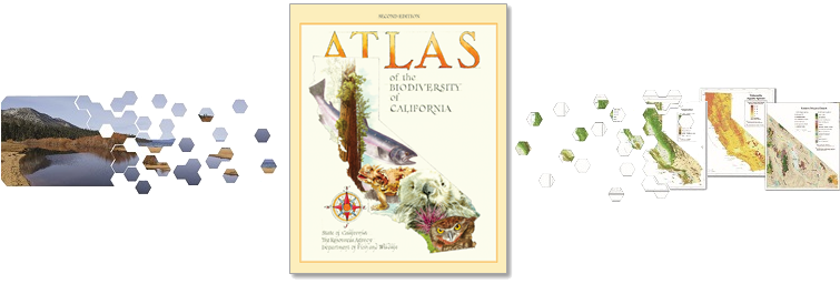
    Images of a landscape and pages of maps scattering into hexagons towards the cover of the Atlas of the Biodiversity of California

    On April 22nd we celebrate Earth Day, and the natural wonders of California and beyond. The Department of Fish and Wildlife would like to proudly announce on this special day that the second edition of the Atlas of the Biodiversity of California has been published!

    The Atlas is filled with beautiful maps, stunning photographs, and captivating illustrations. It features dozens of articles that cover an array of topics, such as the state's remarkable geography, how we measure biodiversity, and examples of the complexity and uniqueness of many of California's treasured wildlife habitats. The Atlas explores why we should care about biodiversity, what some of the current threats are to biodiversity, and what preservation and restoration strategies are underway for the protection of the state’s uniquely diverse species and ecosystems.

    Visit our Atlas web page to view the full Atlas of the Biodiversity of California, 2nd Edition or selected sections. Physical copies are being distributed to all public libraries of California, as well as many academic libraries in the state. Check out your local library in the coming months to see a hard copy of this magnificent book.

    Categories: General