 CNDDB and CDFW are implementing a new system for managing subscriber access to CNDDB-related data and tools, including RareFind 5, the CNDDB and Spotted Owl Data Viewer, CNDDB-related datasets in BIOS, and downloadable GIS files for both the CNDDB and Spotted Owl Observations Database. We will no longer be distributing the monthly cnddb_gov and cnddb_com login and password information to our subscribers. Instead, starting February 4, 2020, any user wishing to access CNDDB data and tools will be required to register for an individual CDFW account and be listed as an authorized user under a current CNDDB subscription.
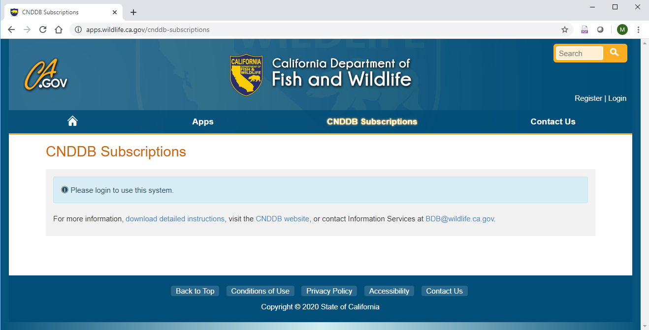
We have developed a  custom web application to allow subscription account-holders to independently maintain their authorized user lists. The process is straightforward: subscription administrators create a list of authorized users for their organization, and those users create individual login accounts. Once an individual account has been verified as an authorized user, that individual will be able to log in using their personal credentials as long as the subscription remains active.
This new system has many benefits for subscribers and CNDDB alike:
- Provides a mechanism for subscribers to easily control who has access through their subscription
- Allows subscribers to add, edit, or remove authorized users at any time
- No monthly password updates to keep track of
- Addresses IT security concerns associated with multiple users accessing secure data via the same login account
- Facilitates a better understanding of our CNDDB subscription client base
- Improves customer service by enabling CNDDB staff to communicate more effectively and directly with our users
More information can be found in the Subscription User Management Instructions and FAQs (PDF), and please don’t hesitate to contact us with any questions.