OSPR's Preparedness mission is to provide best achievable protection of California's natural resources by ensuring regulated vessels and facilities in the oil supply chain have properly planned for, exercised, identified response resources and have demonstrated the financial ability to pay for oil spills.
Programs
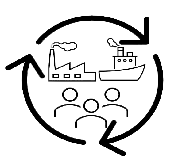
The Response Certification and Planning Unit (RCPU) is comprised of programs that ensure regulated vessels and facilities in the oil spill supply chain are prepared to respond oil spills. RCPU includes the Facility Contingency Plans, Vessel Contingency Plans, OSRO Rating, and SMT Certification programs.

The Drills and Exercises promote preparedness of plan holders by assisting in the design of and evaluating equipment deployment drills and tabletop exercises held for compliance with OSPR's Drills and Exercises regulations. Our goal is to increase preparedness for potential oil spill response by plan holders, OSPR, and stakeholders to maximize response efficiency and protection of California's natural resources.
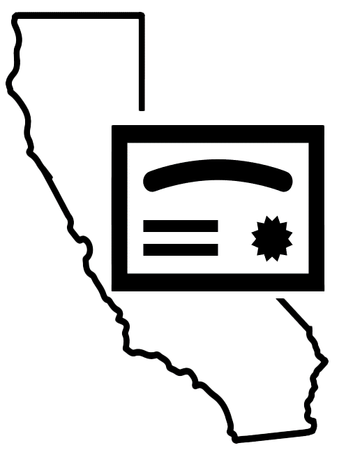
The Certificates of Financial Responsibility (COFR) Unit issues COFR to owners or operators of vessels, facilities, pipelines, and railroads, that are required to have a California Oil Spill Contingency Plan, after they have provided an application and proof that they have the financial resources to cover the costs of response for their “worst-case scenario” spill as defined by regulation.

The U. S. Coast Guard (USCG) and CDFW Office of Spill Prevention and Response (OSPR) collaborate on the preparation of six contingency plans for USCG Sectors San Francisco, Los Angeles / Long Beach, and San Diego. Geographic Response Plans (GRPs) are being updated and developed by OSPR in conjunction with other federal, state, and local government, industry, and other partners for priority inland waters of the state with higher risk of an oil spill.