Overview
California Fish and Game Code section 1932(b) directs the California Department of Fish and Wildlife (CDFW) to “Develop and maintain a spatial data system that identifies those areas in the state that are most essential for maintaining habitat connectivity, including wildlife corridors and habitat linkages.
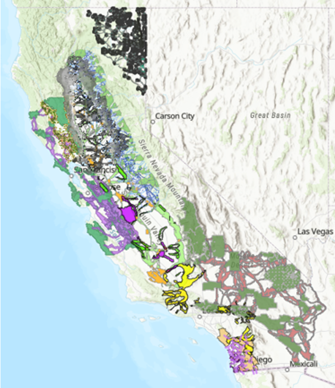
The California Essential Habitat Connectivity project (CEHC; Spencer et al. 2010 (PDF)) was the first effort to identify natural landscape blocks and associated linkages at a statewide scale. The CEHC was a broad-scale analysis identifying linkages between natural habitat blocks 10,000 acres or larger statewide, based on landscape intactness but not considering species-specific movement needs. The CEHC report identified the need to develop focal species based, fine-scale linkage models at the regional scale.
In 2018, the California Biodiversity Initiative Roadmap (PDF) directed CDFW to develop an updated statewide habitat connectivity map. Following the recommendation in the CEHC report, CDFW has prioritized the development of regional focal species based, fine-scale linkage models, working toward a wall-to-wall statewide map of focal-species based, fine-scale linkages. To update the statewide connectivity map, CDFW compiled CEHC linkages and existing regional linkage models, along with additional statewide models [Conservation Biology Institute’s Terrestrial Landscape Intactness dataset (Degagne et al. 2016), The Nature Conservancy’s Omniscape model (TNC and CSP 2018)], into the Areas of Conservation Emphasis (ACE) Terrestrial Connectivity dataset. This dataset summarizes several different connectivity values by ACE hexagon (2.5 square miles) and serves as a spatial reference library of connectivity studies. The ACE Terrestrial Connectivity map depicts connectivity conservation importance statewide based on the best available data across multiple studies. CDFW updates this dataset with new connectivity studies as they become available.
The spatial data developed by CAU scientists is available for viewing and download in the CDFW spatial data library: the Biogeographic Information and Observation System (BIOS). The primary BIOS Viewer can be launched from the first button below. Additional configurations of BIOS have also been organized with select data layers on particular topics or projects preloaded in the table of contents. Statewide and region-specific connectivity data products can be accessed through additional buttons below.