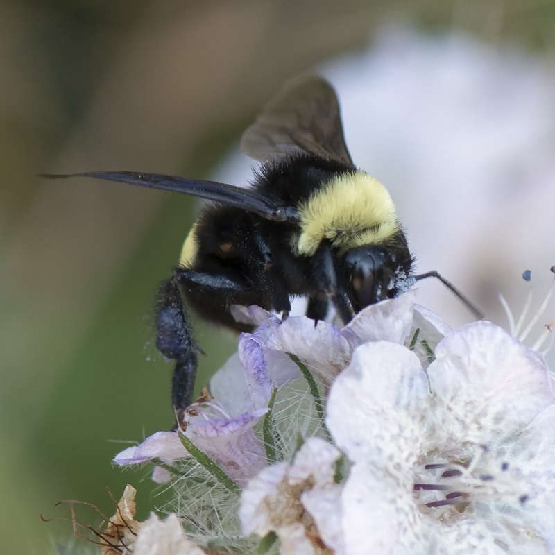
Bombus crotchii – Crotch bumble bee
Submitted by Nancy Hamlett, Friends of the Claremont Hills Wilderness Park
Nancy was able to get a close-up shot of this Crotch bumble bee in the Claremont Hills Wilderness Park in Los Angeles County. Crotch bumble bees are an imperiled invertebrate species and their populations are said to be declining like many other pollinators. During the summer of 2019, the California Fish and Game Commission petitioned to list the Crotch bumble bee as an endangered species under the California Endangered Species Act making it a candidate endangered species. Studies have shown that over the last decade, the species has suffered steep population declines due to agricultural intensification and urbanization of its native range. Crotch bumble bees are native to the lower two-thirds of California but are thought to be extinct in their natural northern range. Nesting occurs underground for this species, so conservation actions include restoring high-quality habitat to include abundant nesting and overwintering resources. This is unfortunately only one of the many pollinators in peril, but the CNDDB is proud to aid in the fight to protect this species and the lands it uses to survive. Thank you, Nancy, for this great observation!
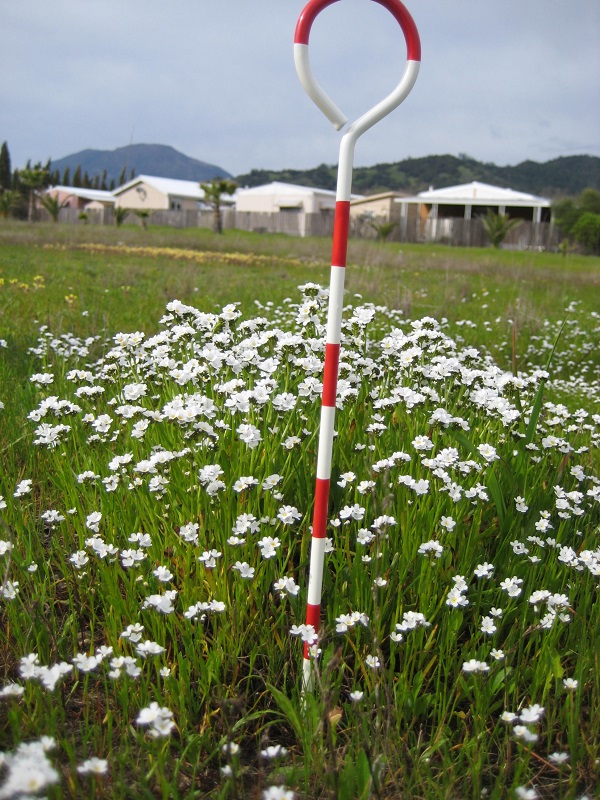
Plagiobothrys strictus – Calistoga popcornflower
Submitted by Aimee Wyrick-Brownworth
This delicate plant was found by Aimee Wyrick-Brownworth in Napa County. It is listed as a 1B.1 (rare or endangered in California and elsewhere, seriously endangered in California) in the California Rare Plant Ranking system. Plagiobothrys strictus can be found found in alkaline areas near thermal springs in meadows and seeps, valley and foothill grasslands, and vernal pools. It blooms from March to June, so keep an eye out for these little white flowers in the next few weeks. Thank you Aimee for all the amazing work you send our way and all the great work you do!
Do you have some great photos of rare plants or wildlife detections? Submit them along with your findings through our Online Field Survey Form and see if your photos get showcased!