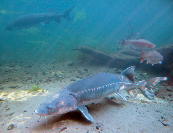
Fishing for White Sturgeon is catch and release only, no harvest is permitted.
Sturgeon Fishing Report Cards (Cards) are an integral part of Department and legislative efforts to reduce the illegal commercialization of sturgeon. Cards provide critical data on catch and (prior to CESA candidacy) harvest that enable the Department to make informed fisheries management decisions surrounding White Sturgeon and federally threatened Green Sturgeon populations. While Card reporting is legally mandated for all anglers targeting White Sturgeon, it also serves as one of the most important actions anglers can take towards conserving these species.
Fees and information on the Report Card and other California sturgeon fishing regulations may be found on our Regulations page.
Program Overview
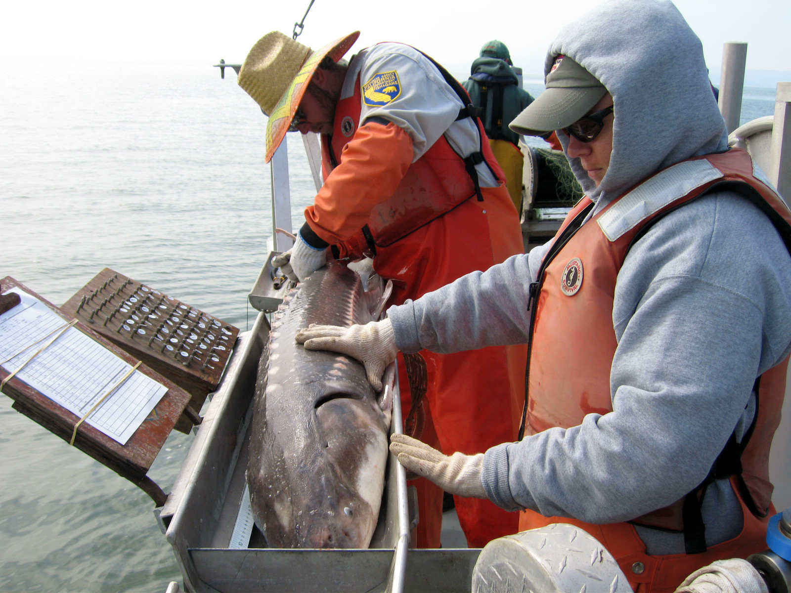
The California Sturgeon Report Card program was initiated in 2007 to help CDFW gather good quality data about the White Sturgeon recreational fishery. The Report Card gives us information on things like how many anglers are fishing for sturgeon, how many fish are caught per year, and how any are released vs. kept for the table (when harvest was permitted). This is some of the most useful information we can get, and we use it to help monitor the fishery and determine how much fishing pressure the population is experiencing. Filling in the Report Card completely and returning it on time are some of the most important things anglers can do to help CDFW manage these fish and keep them around forever.
Card Purchasing and Reporting
Fishing for White Sturgeon is catch and release only.
Report Cards may be purchased online or wherever fishing licenses are sold. Cards are good for the White Sturgeon fishing season, from October 1 to June 30. You must have a Report Card with you if you are fishing for sturgeon. Anglers must return their completed Report Cards, or submit the information online, by July 31 after the Report Card expires. Prior to purchasing your sturgeon report card you must have a valid sport fishing license.
Note: Prior to 9 September 2025, Report Cards ran on the calendar year (January 1 to December 31) and needed to be reported by January 31 after they expired. Anglers that have already purchased a 2025 Report Card before the regulations changed may either 1) acquire a new 2025-2026 season card immediately for no fee, or 2) continue to fish with the old card until it expires and then aquire the new card for the rest of the fishing season.
Where to Purchase
Online(opens in new tab) License Agents(opens in new tab) CDFW Offices(opens in new tab)
POSSESSION OF A STURGEON REPORT CARD IS REQUIRED OF ANY ANGLER FISHING FOR WHITE STURGEON IN ALL CALIFORNIA WATERS
How to Report
Reporting Period for 2025-2026 season cards: July 1 - July 31, 2026
Reporting Period for 2025 annual cards: January 1 - 31, 2026
RETURNING YOUR REPORT CARD IS MANDATORY
Report Your Catch Online (preferred)(opens in new tab)
Or report your catch by mail to the address listed on the report card.