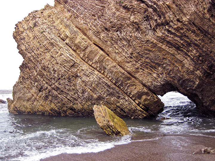
California's coast and ocean are among our most treasured resources. The productivity, wildness, and beauty found here is central to California's identity, heritage, and economy. The need to safeguard the long-term health of California's marine life was recognized by the California Legislature in 1999 with the passage of the Marine Life Protection Act. This Act aims to protect California’s marine natural heritage through establishing a statewide network of marine protected areas (MPAs) designed, created, and managed using sound science and stakeholder input.
MPAs protect the diversity and abundance of marine life, the habitats they depend on, and the integrity of marine ecosystems. The Marine Life Protection Act recognizes that a combination of MPAs with varied amounts of allowed activities and protections (marine reserves, marine conservation areas, and marine parks) can help conserve biological diversity, provide a sanctuary for marine life, and enhance recreational and educational opportunities. MPAs can also provide scientific reference points to assist with resource management decisions, and protect a variety of marine habitats, communities, and ecosystems for their economic and intrinsic value, for generations to come.
Learn more!