CDFW’s Yolo Bypass Wildlife Area serves two critical – but sometimes competing – needs.
The 16,670 acres of riparian and agricultural habitat in Yolo County provide a refuge and an all-you-can-eat buffet for migratory waterfowl and resident wildlife to the west of Sacramento and the increasingly urbanized surrounding communities.
The wildlife area is also a key cog in the Sacramento region’s flood control system. In wet years, the vast flood plain accommodates massive water diversions from the nearby Sacramento, Feather and Yuba river systems to prevent flooding in populated areas and to relieve pressure on strained river levees.
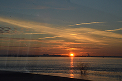
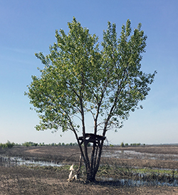
With the drought-busting rains and snow received last winter, the wildlife area resembled an inland ocean for the thousands of daily commuters traveling the Interstate-80 Yolo Causeway, which crosses the northern edge of the wildlife area. The floodwaters stretched as far as the eye could see, reaching depths of 20 feet in some places, and submerging almost every natural feature underneath. The consequences were dire for wildlife unable to escape.
Pheasants, deer, raccoons, and small rodents of all kinds were among the victims. Some were overcome by the rising water, some starved while waiting out the floodwaters in trees or isolated patches of high ground, others were picked off by predators stalking the water line for fleeing prey.
As a result, efforts are now underway to help the area’s wildlife survive future flooding. The Yolo County Resource Conservation District has secured almost $700,000 in Proposition 1 state water project funds to build two wildlife escape habitat corridors and a demonstration garden over the next four years. The project includes partnerships with CDFW, Yolo Basin Foundation, Center for Land-Based Learning, Putah Creek Council, the United States Department of Agriculture’s Natural Resources Conservation Service and Point Blue Conservation Science.
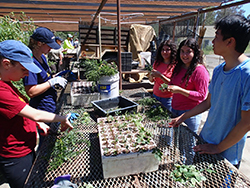
The demonstration garden will serve as an educational component for visitors near the wildlife area’s entrance. Two other corridors in the southern end of the wildlife area will stretch more than 5 miles total and include 22 acres of native grass seeding for nesting and cover. The corridors will run parallel to the Putah Creek channel, which is the only existing natural escape route now on the refuge.
“These corridors are basically like wildlife roads,” said Jeffrey Stoddard, the Yolo Bypass Wildlife Area manager for CDFW.
The floodwaters advance slowly enough that even the smallest animals can escape, Stoddard explained, provided they head in the right direction and don’t get exposed to predators along the way.
“We have blocks of escape habitat now, but we will be creating connectivity, moving animals from the east side that is deeper to the west side that is higher ground,” he said.
The corridors will consist of a mix of flood-tolerant native shrubs, grasses and forbs that will provide escape routes to high ground, protection from predators, food, and good habitat year-round.
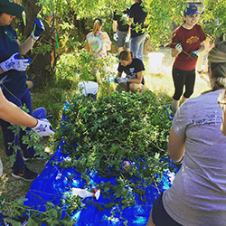
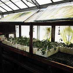
The corridor work began in June with Putah Creek Council student interns collecting wild rose, red stem dogwood and coyote brush clippings for propagating and use as plant stock for the wildlife corridors.
Photos courtesy of CDFW, the Putah Creek Council and the Yolo County Resource Conservation District. Students pictured are interns from the Putah Creek Council’s One Creek Restoration Internship program.