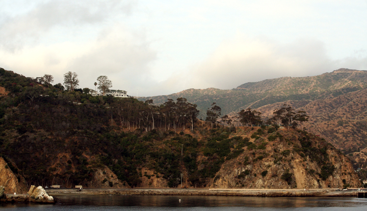
 Lover's Cove SMCA. photo © Miss Shari, CC BY-NC-ND 2.0.
Lover’s Cove SMCA and nearby Casino Point SMCA (No-Take) include rocky reef and kelp forest habitats that exemplify the Southern California kelp forest ecosystem. Kelp forests create excellent underwater habitat for many fish, invertebrate, and marine mammal species, supporting a complex web of interactions. Kelp bass, señorita, California sheephead, opaleye, blacksmith, California halibut, giant sea bass, and the colorful state marine fish, the garibaldi, swim freely through the island’s kelp forests.
Giant sea bass populations have been slowly making a comeback since fishing for them was banned statewide in the 1980s. They are now often seen around Santa Catalina Island, including within Lover’s Cove SMCA. In addition to the many species of fish within the MPA, California spiny lobster, abalone, crabs, and nudibranchs (sea slugs) can also be found along the ripples in the sandy seafloor and sheltering in rocky crevices.
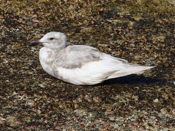
 Glaucous-winged gull at Lover's Cove SMCA. photo © J. Bailey, CC BY-NC 2.0.
For centuries, Native American Tribes in California have relied on marine and coastal resources. Many Native American Tribes in California continue to regularly harvest marine resources within their ancestral territories and maintain relationships with the coast for ongoing customary uses. Originally inhabited by Native Americans known as the Tongva, Catalina Island, also known as Pimugna or Pimu to these first peoples, provided abundant resources for permanent villages for thousands of years. Ancient tools and specimens including hand-fashioned stone, shell, and bone tools, and piles of abalone shells have been uncovered from ancient village sites.
Captain Juan Rodriguez Cabrillo, a Portuguese navigator in service to Spain, is likely the first European explorer to visit the island, anchoring two tiny caravel ships off the Bay of Avalon in 1542. In November 1602, Philip III of Spain sent an expedition under command of Sebastian Vizcaino to map the California coastline. He anchored in what is now the crescent shaped harbor of Avalon on Saint Catherine’s Day and renamed the small sunny island “Santa Catarina'' or “Cathalina”.
In 1885, the island was sold for $200,000 to George R. Shatto, who sold land parcels to buyers from all over the country. In 1919, the island again changed hands and was sold for $3 million to the multi-millionaire chewing gum mogul and owner of the Chicago Cubs, William Wrigley Jr., who set out to make it a tourist destination. In the 1970s, Wrigley deeded 88 percent of the island to the Catalina Island Conservancy, and today much of it remains undeveloped and wild.
The early 1900s was a golden age for Santa Catalina Island. Movie stars and famous figures flocked to the island to relax and hide from fans. Charlie Chaplin, Humphrey Bogart, Winston Churchill, and Errol Flynn frequented the island to fish for marlin and other game fish. Santa Catalina Island’s rich history can be seen in the many historic landmarks that dot the landscape.
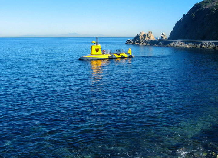
 Glass bottom boat touring Lover's Cove SMCA. photo © Behan, CC BY-NC-ND 2.0.
Lover’s Cove SMCA is primarily used by shore-based scuba divers, snorkelers, kayakers, and glass bottom boat tours. Within the MPA, divers are permitted to feed the fish to enhance their viewing experience. Along with nearby Casino Point SMCA (No-Take), Lover’s Cove SMCA is one of the only two MPAs in the State that permits this activity. Divers may see kelp bass, California sheephead, garibaldi, and señorita. Offshore in deeper waters, divers have an opportunity to see giant sea bass in the wild, as these fish like to hang out at the edge of the kelp forest. Giant sea bass are a fully protected species, and may not be taken anywhere in California. Potentially weighing more than 500 pounds each, giant sea bass are hard to miss!
Lover’s Cove SMCA permits hook-and-line fishing from the Cabrillo Mole. There are several ocean recreation businesses in Avalon catering to divers and other tourists, and the MPA is located a short walk from the city of Avalon. With easy access and many nearby businesses that rent gear or offer classes, there are multiple ways to experience Lover’s Cove SMCA.