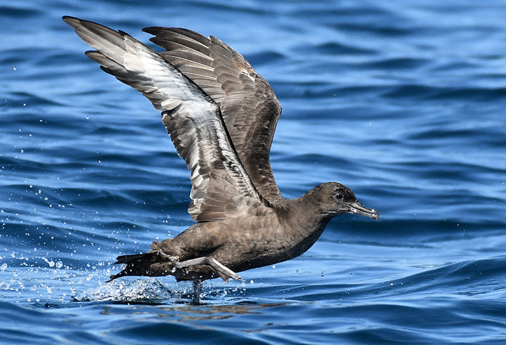
 Sooty shearwater at Footprint SMR. photo © A. Viduetsky, CC BY-NC 2.0/
Footprint SMR sits just southwest of West Anacapa Island, and features extensive, steep lava rock cliffs with numerous caves and crevices below the ocean’s surface.
Like the rest of the Channel Islands region, Footprint SMR is located at the convergence of warm water currents that flow north up the Southern California coast and cold water currents that push south from Alaska. This convergence creates a unique "transition zone". Nutrient-rich water, combined with the mixing of temperatures and the meeting of species from southern and northern ranges account for the rich and varied marine life in the reserve. Species that have adapted to living in cold water, like starry flounder, black rockfish, and red abalone, and species that have adapted to living in warm water, such as garibaldi, California spiny lobster, and California moray eel can all be found in Footprint SMR.
Remotely operated underwater vehicles have explored the depths of this unique MPA, documenting the underwater landscape and its residents. Large schools of rockfish and lingcod swim amongst immense gardens of cold-water coral. Bubble gum coral, gold coral, black coral, and reef-building lophelia coral form a colorful tapestry that blankets large cobble and boulder features in the dark depths of the reserve. Deep, rocky reefs provide habitat for copper rockfish, cowcod, and bocaccio, while California sea cucumbers can be found among the residents of the sandy seafloor in this MPA.
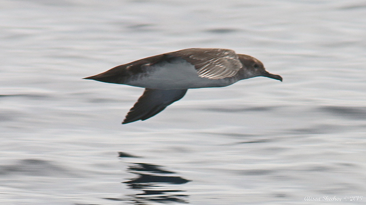 Black-vented shearwater at Footprint SMR. photo © Nature Ali, CC BY-NC 2.0.
For centuries, Native American Tribes in California have relied on marine and coastal resources. Many Native American Tribes in California continue to regularly harvest marine resources within their ancestral territories and maintain relationships with the coast for ongoing customary uses. The Channel Islands have a rich human history with many shell midden sites serving as remnants of early inhabitants.
Traditionally home to the Chumash, Anacapa Island was named Ennepah, meaning deception or mirage, because it changed shape in the fog and afternoon heat. The island was likely only inhabited seasonally for fishing and other activities, due to a lack of reliable fresh water. The Chumash used the tomol, a traditional redwood plank canoe, to travel between the islands and mainland, and throughout the extensive West Coast trade networks.
The first recorded instance of European exploration of Anacapa Island dates to 1521, when Juan Rodriguez Cabrillo landed on the islands. More Spaniards arrived throughout the 17th century, along with Russian fur traders and explorers seeking to exploit the area's rich marine resources.
During the 1900s, the island was home to a light station with a fog signal building, a water tank, and keeper’s quarters. In 1938, President Franklin D. Roosevelt signed a proclamation designating Anacapa and Santa Barbara islands as the Channel Islands National Monument. In the last half of the 20th century, landowners began selling parcels of land on the islands to The Nature Conservancy and the National Park Service. Now part of the Channel Islands National Park, non-native domesticated farm animals, plants, and rats have largely been removed, and the islands’ native foxes, nesting seabirds, giant scrub jays, and plants are becoming more prevalent as the ecosystem returns to its natural state.
In 1980, Channel Islands National Park was established, replacing the Channel Islands National Monument and protecting Santa Rosa, Santa Cruz, and San Miguel islands in addition to Anacapa and Santa Barbara islands. The Channel Islands National Marine Sanctuary was established in 1980 as well, protecting 1,470 square miles of ocean encompassing the waters up to six nautical miles offshore around each of the five islands.
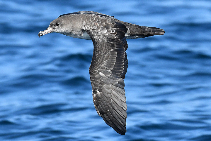 Pink-footed shearwater at Footprint SMR. photo © A. Viduetsky, CC BY-NC 2.0.
Footprint SMR and FMR are best enjoyed above water, given their strong currents and extreme depths. Boaters can enjoy the views and may spot gray, humpback, and blue whales, as well as seabirds such as the pink-footed shearwater and the northern fulmar.
All take is prohibited within the SMR and FMR. While these offshore MPAs are not adjacent to land, a hike to Inspiration Point on East Anacapa Island offers breathtaking views of Footprint SMR and FMR.
Footprint State Marine Reserve/Federal Marine Reserve
This area is bounded by straight lines connecting the following points in the order listed:
33° 59.300' N. lat. 119° 30.965' W. long.;
33° 54.119' N. lat. 119° 30.965' W. long.;
33° 54.119' N. lat. 119° 25.987' W. long.;
33° 59.300' N. lat. 119° 25.987' W. long.; and
33° 59.300' N. lat. 119° 30.965' W. long.
Note: This area includes Footprint State Marine Reserve and the adjoining federal Footprint Marine Reserve. Coordinates are provided for outer boundaries of the joined state and federal areas.
The state reserve and federal reserve share identical regulations. For state reserve boundaries only, see California Code of Regulations Title 14, Section 632. For federal reserve boundaries only, see Code of Federal Regulations, Federal Register 15 Part 922 and 50 CFR Part 660